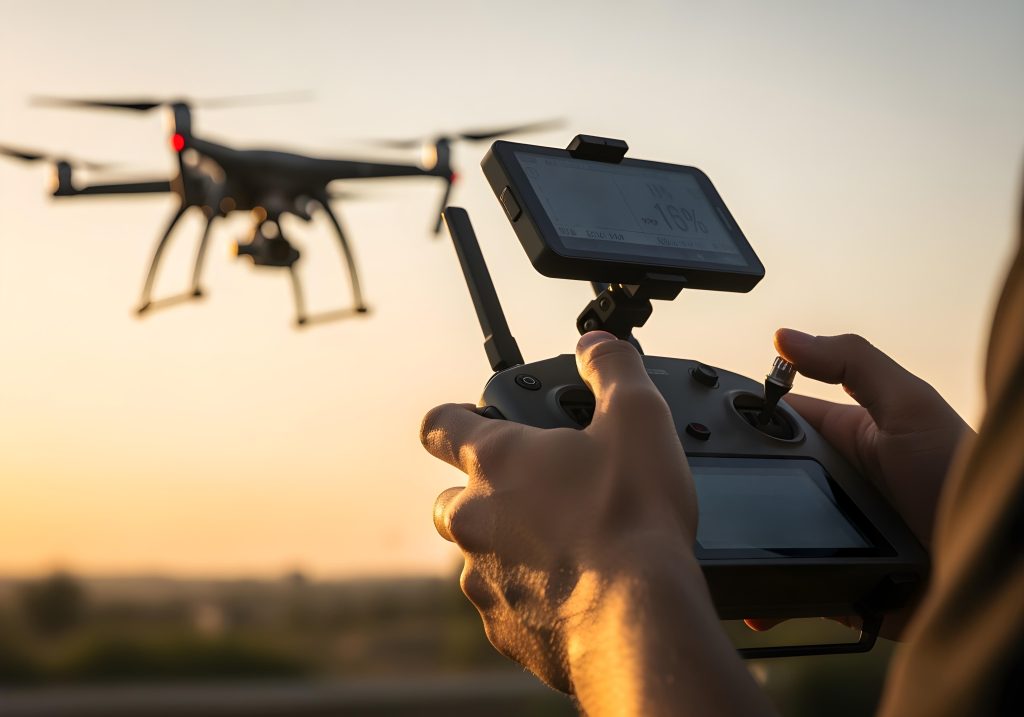
You’re standing on-site, ready for a critical flight. The consumer weather app on your phone shows a friendly sun icon and says “light winds.” But as you climb to 100 metres, your RPAS is suddenly fighting for stability against a wind you didn’t expect. What went wrong?
The answer is simple: you were using a ground-level forecast for an aviation-level task. Consumer weather apps are great for planning a picnic, but RPAS operate in the sky, an environment with its own set of rules and its own language—especially when it comes to weather.
Professional pilots rely on METARs and TAFs. At first glance, these coded reports look like an intimidating line of gibberish. But learning to pull out the three or four key pieces of information you need is surprisingly easy. This five-minute guide will show you how to decode them to make smarter, safer go/no-go decisions for every flight.
First, What’s the Difference? METAR vs. TAF
You’ll find both reports for most major airports on the Airservices Australia NAIPS portal, or through aviation apps like OzRunways and AvPlan EFB. Knowing which one to use, and when, is key.
- METAR (Meteorological Aerodrome Report): Think of this as a snapshot. It tells you what the weather is doing RIGHT NOW at a specific airport. It’s an observation, not a forecast.
- TAF (Terminal Aerodrome Forecast): This is the movie. It gives you a forecast of the expected weather conditions for the airspace around an airport, typically for the next 24 to 30 hours.
Your workflow: Use the TAF the night before to plan your mission. Use the METAR just before you leave for the job (and on-site) to confirm the current conditions.
Decoding a METAR: The “Right Now” Report
Let’s break down a typical METAR. We’ll only focus on the parts that matter most for a drone flight.
Here’s an example for Sydney Airport (YSSY): METAR YSSY 180430Z 24015G25KT 9999 SCT030 BKN045 17/12 Q1018
It looks complex, but here’s all you need:
- The Wind:
24015G25KTThis is the most critical piece of information.240: The wind is coming FROM 240 degrees (a south-westerly).15: The sustained wind speed is 15 knots.G25: It is Gusting up to 25 knots.KT: The unit is Knots.- Pro Tip: To quickly convert knots to km/h, roughly double it (1 knot = 1.85 km/h). So, 15 knots is about 30 km/h, gusting to 50 km/h. Can your drone handle that?
- Visibility:
9999- This is an easy one.
9999means visibility is 10 kilometres or more. Perfect flying conditions. If you see a smaller number like4000, it means visibility is 4000 metres.
- This is an easy one.
- Clouds:
SCT030 BKN045This tells you if you risk flying into a cloud, which is illegal under VLOS rules.- Cloud cover is reported in eighths of the sky:
FEW(1-2),SCT(Scattered, 3-4),BKN(Broken, 5-7),OVC(Overcast, 8/8). - The numbers represent the height of the cloud base in hundreds of feet above the aerodrome.
SCT030: There are Scattered clouds at 3,000 feet.BKN045: There is a Broken cloud layer at 4,500 feet.- Since your legal ceiling is 400 feet (120m), you have plenty of room below these clouds. If you saw
BKN005, that’s a cloud base at 500 feet, meaning your operational space is getting tight.
- Cloud cover is reported in eighths of the sky:
That’s it! In 30 seconds, you’ve determined the wind, visibility, and cloud base from that METAR. The other numbers relate to date/time (180430Z), temperature/dew point (17/12), and atmospheric pressure (Q1018), which are useful but less critical for a basic go/no-go decision.
Decoding a TAF: The “What’s Coming” Forecast
Now let’s look at a TAF to plan a flight for tomorrow. The structure is similar, but it includes timing groups for changes.
Example TAF for Melbourne Airport (YMML): TAF YMML 180500Z 1806/1912 18010KT 9999 SCT025 FM182300 23022G35KT 3000 SHRA BKN010
- The Initial Forecast:
18010KT 9999 SCT025- The TAF is valid from day 18 at 0600 Zulu time (Z) to day 19 at 1200Z.
- The initial conditions are great: 10-knot wind from the south, great visibility, and scattered clouds at 2,500 feet.
- The Change Group:
FM182300 ...This is the most important part of a TAF. Look for key change indicators:FM(From): A rapid, permanent change is expected at this time.BECMG(Becoming): A gradual change will occur over a period of time.TEMPO(Temporary): This change will happen for short periods (less than an hour).
Let’s look at our change:
FM182300 23022G35KT 3000 SHRA BKN010- FROM day 18 at 2300Z, the weather will change to:
- Wind:
23022G35KT– 22 knots gusting to 35 from the SW. This is likely too windy for most commercial drones. Red flag! - Visibility/Weather:
3000 SHRA– Visibility will drop to 3000 metres in Showers of Rain. Red flag! - Clouds:
BKN010– A broken cloud layer will form at 1,000 feet.
The Verdict: Based on this TAF, you could plan your flight for the morning (before 2300Z), but you should plan to be packed up and gone before the afternoon, as conditions are forecast to become completely unsuitable for flight.
Your New Professional Workflow
- Plan (Night Before): Pull the TAF for the nearest major airport to your job. Check the forecast for your planned operating time, paying close attention to any
FM,BECMG, orTEMPOchanges. - Confirm (Morning Of): Check the latest METAR before you leave home. Does it align with what the TAF predicted?
- Verify (On-Site): If you have reception, check the METAR one last time before you take off.
By investing five minutes to learn this skill, you move beyond guesswork. You start to manage weather risk like a professional aviator, ensuring your flights are not only successful but consistently safe.